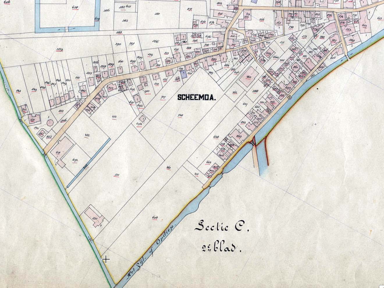
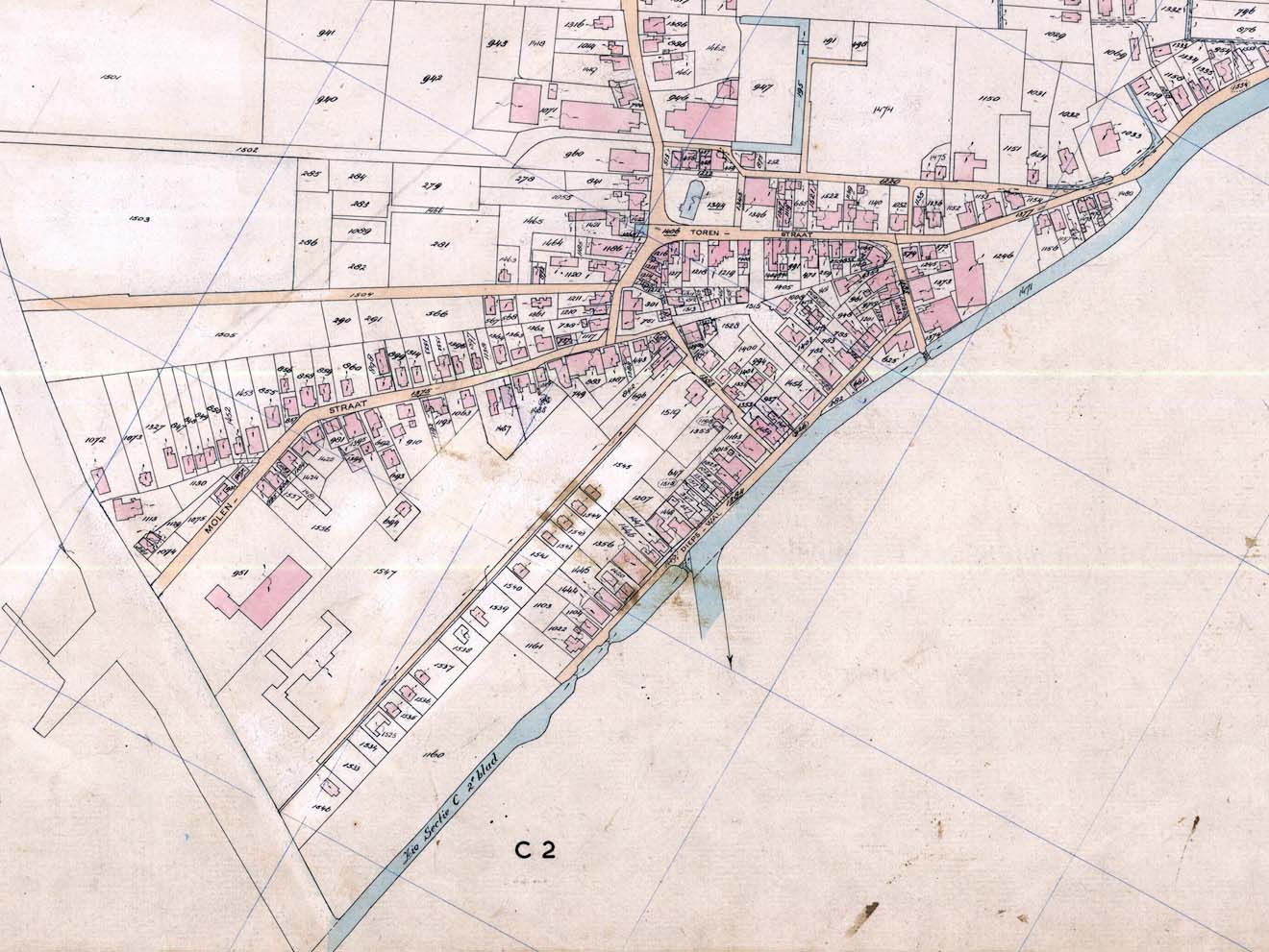
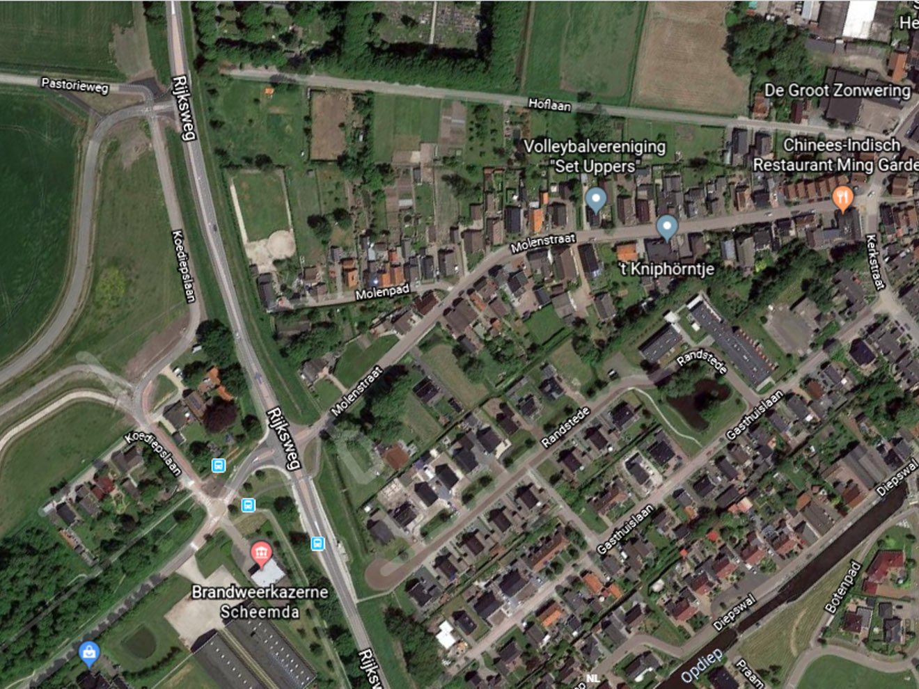
In onderstaande kaarten wordt de ontwikkeling van het Randstedegebied weergegeven sinds 1777
(Klik om te vergroten)


Bronnen:
 Kaart 1: Kaart 72 Atlas van Beckeringh (27 september 1777)
Kaart 2: Kaart 847 Kadasterkaart Scheemda E 1 (Koediep), 1832 (minuutplan)
Kaart 3: Kaart 1617 Kadasterkaart Scheemda E 1, 1896 (minuutplan)
Kaart 4: Kaart 7016 Kadasterkaart Scheemda E 1, ca 1966 (netteplan)
Kaart 5: Kaart 7017 Kadasterkaart Scheemda E 1, 1976 (netteplan)

Privacy Settings
We use cookies to enhance your experience while using our website. If you are using our Services via a browser you can restrict, block or remove cookies through your web browser settings. We also use content and scripts from third parties that may use tracking technologies. You can selectively provide your consent below to allow such third party embeds. For complete information about the cookies we use, data we collect and how we process them, please check our Privacy Policy
Youtube
Consent to display content from - Youtube
Vimeo
Consent to display content from - Vimeo
Google Maps
Consent to display content from - Google